

Task new captures
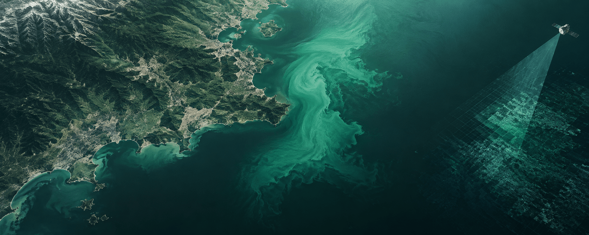
Schedule high-frequency satellites dynamically over your specific Area of Interest (AOI) to capture crucial growing stages.
Learn more →
Rapid geospatial support for emergency and disaster-related situations.
Satellite imagery supports disaster response by providing timely visibility into affected areas, infrastructure status, and access routes. By delivering consistent, wide-area coverage during active events, geospatial data enables authorities and response teams to coordinate evacuations, prioritize resources, and make informed decisions under time-critical conditions.
Schedule high-frequency satellites dynamically over your specific Area of Interest (AOI) to capture crucial growing stages.
Learn more →Instantly search and pull historical spectral and radar scenes from our global catalog of top-tier Earth observation providers.
Learn more →Access analysis-ready datasets delivered as Cloud-Optimized GeoTIFFs (COGs) or customized integrations.
Learn more →

Order new captures or browse existing catalogs — all in one place.